Alberta's Range trail and adjoining routes offer rewarding gravel riding through open ranch country, rolling foothills, and long, quiet roads. The best experience comes from matching the route to your fitness, equipment, weather, and navigation skills. "Range trail" can describe a named itinerary or a locally mapped combination of gravel roads and rough tracks. Because alignments and access can vary, treat any route name as a starting point rather than a guarantee of continuous signs or uniform surfaces.
Table of Contents
- What kind of riding should you expect?
- Choose a route that fits your day
- Pick practical bike and tire equipment
- Prepare for exposure and limited services
- Respect ranch roads, gates, and other users
What kind of riding should you expect?
Expect changing terrain rather than a smooth recreational path. A route may combine firm gravel, loose stones, washboard, potholes, ruts, and short sections of dirt or grass. Wind and climbing can make a modest distance surprisingly demanding.
Gravel also slows most riders compared with pavement, while loose descents require more braking room and careful cornering. Recent rain can transform an enjoyable road into sticky mud that clogs tires and damages the surface. If wheels leave deep ruts, turn back and choose an all-weather road.
Choose a route that fits your day
Judge a Range route by surface, elevation, exposure, and escape options—not distance alone. A rider comfortable with 70 kilometres on pavement might begin with 35 to 50 kilometres on unfamiliar gravel.
Before leaving, check: Allow extra time for photographs, mechanical problems, headwinds, and navigation errors. On longer rides, set a turnaround time before fatigue begins influencing decisions.
- The complete distance and estimated climbing
- Whether the route forms a loop or requires a shuttle
- Reliable water, food, toilets, and resupply points
- Public-road status and any seasonal restrictions
- Shortcuts or paved roads that provide an early exit
Pick practical bike and tire equipment
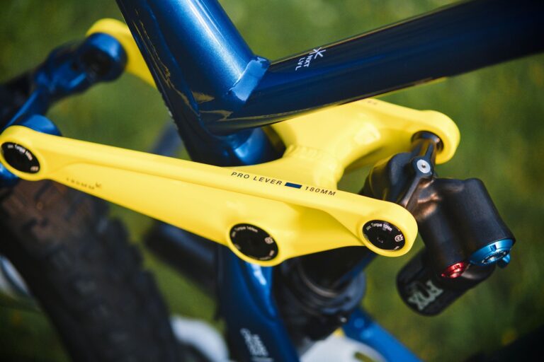
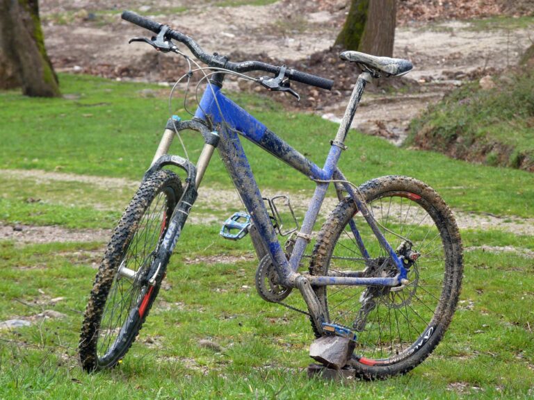
A gravel bike is the natural choice, but a hardtail mountain bike can offer more control on rough or uncertain sections. Tire clearance, low gearing, and reliable brakes matter more than the category printed on the frame. Wider tires generally improve comfort and grip on loose surfaces.
Many riders use tires around 38 to 45 millimetres wide, although rocky tracks, rider weight, and rim width may justify a different setup. Tubeless tires can seal small punctures, but they do not replace a repair kit. Carry at least one compatible tube, tire levers, inflation equipment, a multitool, and a way to repair a damaged tire casing.
Prepare for exposure and limited services
Open Alberta landscapes can leave riders exposed to sun, wind, cold rain, and fast temperature changes. Check the forecast for the entire route area, then pack a windproof layer and enough insulation for an unplanned stop. Download the route to a cycling computer or phone before departure.
Keep an offline map and spare battery available because rural coverage may be unreliable and a route file can still contain errors. Tell someone where you are going and when you expect to return. Carry identification, emergency contact details, adequate food and water, and any wildlife equipment recommended for the area.
Respect ranch roads, gates, and other users
A line on a mapping app does not prove public access. Obey posted closures, remain on legal roads and trails, and never cross private land simply because an uploaded route does. Ride predictably around vehicles, horses, livestock, and farm machinery.
Slow down near animals, avoid sudden movements, and leave gates exactly as you found them when access is clearly permitted. Loose gravel increases stopping distance, while passing vehicles can produce dust that briefly obscures the road. Use visible clothing and lights, stay to the appropriate side, and avoid stopping where hills or bends hide you from drivers. If a sign, gate, or landowner instruction conflicts with your route file, turn around.